- Stories
- |
Port Isaac and Port Gaverne: An Old Map And Some New Names
Coastlines like that of North Cornwall, populated as they are with historic fishing villages, carry many old place names that never appear on conventional maps. In between the named ports, bays and headlands are lots of smaller coastal features that fishermen, farmers and smugglers would have identified with their own names often only known amongst the local community.
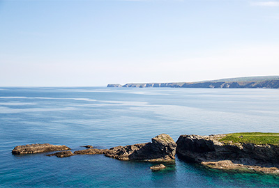
Castle Rock and The Main
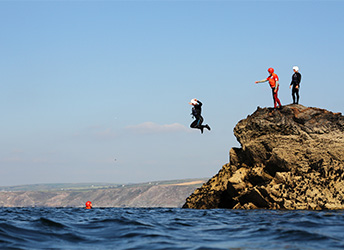
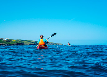
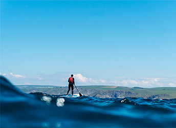
On the stretch of coast around Port Isaac and Port Gaverne where we run our sea kayaking, stand-up paddleboard, and coasteering activities each cove, gulley, cave and cliff has a name. You may recall us talking about jumping into ‘The Gut’ (the narrow channel of deep water between ‘The Main’ headland on the north side of Port Gaverne and ‘Castle Rock’ the island that stands just off it) or the big jump at Tridents if you have been coasteering with us. Sea kayaking groups heading west may have made it to the low tide beach at Varley that is only exposed at low tide, and inaccessible except for from the water. But between these places that we visit on our activity routes, are other places that would have been significant enough to local fishermen, farmers and smugglers in years gone by to require a name. And now, we know what they are!
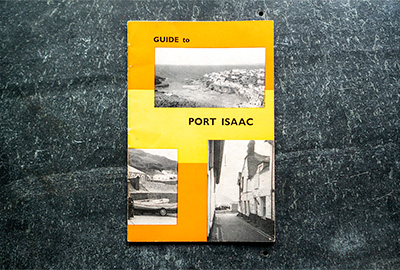
1968 Guide to Port Isaac
We were lucky enough to recently get hold of a Guide to Port Isaac from 1968, a 28 page booklet that gives an amazing insight into the village and surrounding area in the mid to late 1960s. Inside, alongside some incredible revelations such as the fact that local fishermen used to take tourists out shark-fishing “for a bit of excitement” because there were apparently thousands of sharks along this stretch of coast (presumably the small blue sharks that are native to the Celtic Sea and that are still found off Penzance) and they “are quite harmless”, are a couple of hand-drawn maps of the coast. Along the coast, inbetween the key landmarks that we know well, are lots of other fascinating names: ‘Gentlemen’s Parlour’, ‘Screeches’ and ‘Pot Eater Gug’ to name a few. Some of them we can perhaps guess at how they got their name, such as ‘Pot Eater Gug’: ‘Gug’ is old Cornish dialect for a cave, especially in North Cornwall, and we can only assume that local fishermen frequently lost their lobster pots into this cave just off Kellan Head, near Port Quin.

The Coastline East of Port Gaverne Towards Tintagel
One place name that does have an explanation in the guide book is the eastern-most spot on the map showing the coast from Port Gaverne up towards Trebarwith and Tintagel. It is labelled as ‘Donkeys Hole’ and ‘Square Hole’. If walking along the cliff form Port Gaverne, two valleys past Bounds Cliff (which is noted as being one of the highest cliffs in Cornwall at over 500 feet high) is a stream on the other side of which is a tunnel in the side of the hill. This was known as ‘Donkey’s Hole’ because there was a slate quarry on the coastal cliff and when the quarry was active donkeys were used to carry the slates through the access tunnel. The guide book states that if you went down the tunnel and climbed down the rocks on a low tide and around onto a shingle beach, one could still find thousands of cut and stacked slates that were never removed from the quarry, “now weather beaten and useless”. We’re certain that in the intervening fifty-plus years those slates will have been smashed and scattered by the storms, and the tunnel likely collapsed or inaccessible.
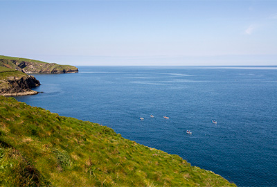
Paddling back from Varley
Some of these names would have morphed and mutated over time, often because they were passed on verbally and never written down so were subject to accent or mispronunciation; when some were written down they may have been miss-spelt (on one of these maps, ‘Varley Head is labelled as ‘Valley Head’ – a perfect example of how a name can be changed byt accident), and often families or different user groups had slight variations on a place name. We have always called the beach inside Varley Head simply ‘Varley’, but on this old map it is named as ‘Crowser’. A friend’s family knew Pine Haven as ‘Pine Awn’, ‘Awn’ being Cornish dialect for a cove or haven.
This little guide book has given us an amazing snapshot back in time to Port Isaac and Port Gaverne in the mid 1960s, a period when this area was “one of the few Cornish beauty spots which has been left to charm the visitors simply with its own natural surroundings.” Despite all that has happened since, we here at Cornish Rock Tors believe that this statement still rings true as we share with you all this coast’s natural beauty. The booklet also gives us a glimpse even further back in time, thanks to the historic place names that it keeps alive through the hand drawn maps. We’re so grateful to have come across this treasure, and from now on we’ll be delighting in paddling you not just into the cave beneath Lobber Point on the way into Port Isaac harbour, but into ‘Gentlemen’s Parlour’ no less.

Lobber Point and ‘Gentlemen’s Parlour’
Our stretch of coast is not much different to the rest of Cornwall, and it is amazing to think of all of the historic local names given to coastal features around the edge of this county, names that are perhaps now lost to the mists of time. That would be some map!